
Planning-grade visual documents are specialised, technically accurate representations of a development proposal, produced to satisfy the requirements of planning authorities, Local Planning Authorities (LPAs), and statutory consultees. Known in professional practice as planning drawings or planning submissions, these documents go well beyond a sketch or a mood board. They must convey design intent, site context, and regulatory compliance in a single, coherent package. For architects, developers, and urban planners, getting these documents right is the difference between a smooth approval and a costly delay.
What are planning-grade visual documents and why do they matter?
Planning-grade visual documents are the formal graphic record of a development proposal submitted for regulatory review. They communicate what is being built, where it sits on the land, how it relates to neighbouring structures, and how it meets local policy requirements such as the London Plan or RIBA Stage 3 design standards.
These documents serve three distinct audiences simultaneously. Planning officers assess compliance with policy. Elected members and the public evaluate visual impact. Engineers and contractors use the same drawings as a technical baseline for construction. A document that fails any one of these audiences risks objections, requests for further information, or outright refusal.
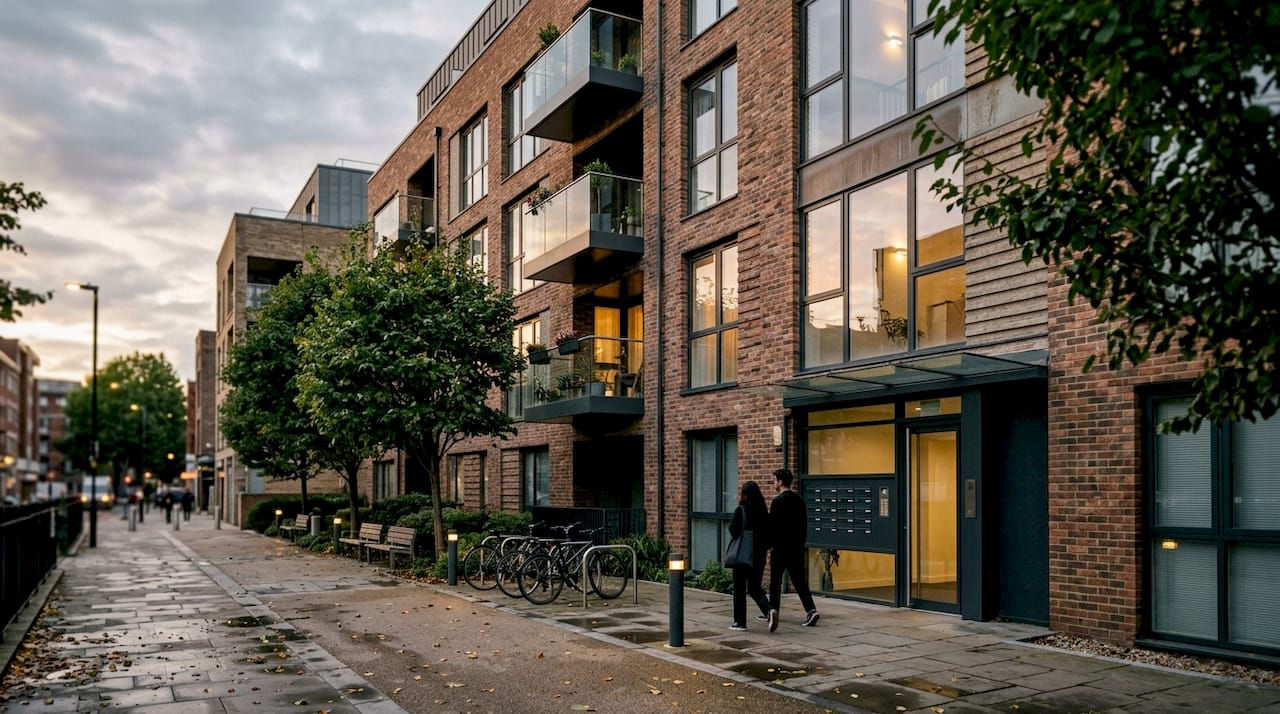
The term “planning-grade” signals a quality threshold. A document reaches that threshold when it is drawn to a recognised scale, contains all mandatory information, and is legible to a non-specialist reader without additional explanation.
Key types of planning visualisation documents
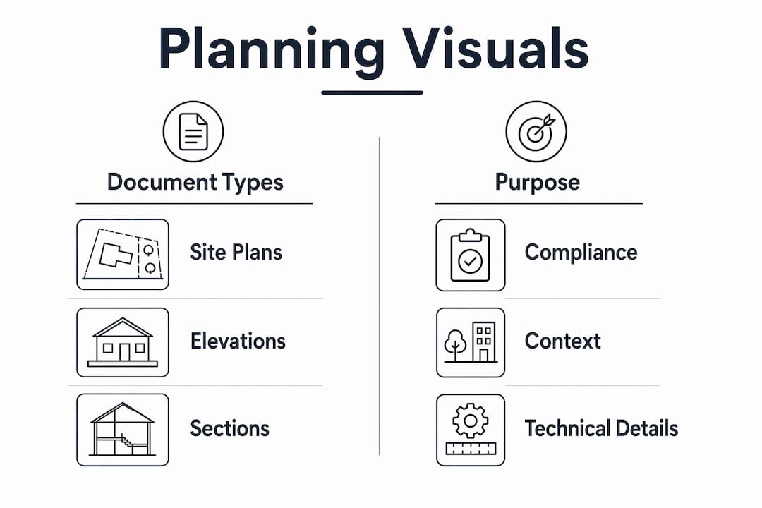
Planning submissions draw on several distinct document types, each serving a specific purpose in the review process.
- Site plans. A site plan shows the proposed development in relation to its surroundings. At scales of 1:50 or 1:100, it must include road frontages, setbacks, parking counts, fire access routes, utilities, and stormwater management to satisfy municipal reviewers. A well-executed site plan functions as a “contract with the land,” coordinating civil, landscape, and MEP engineering elements early to reduce permitting risks.
- Elevations and sections. Elevations show each external face of a building at a consistent scale. Sections cut through the building to reveal internal floor-to-ceiling heights, ground levels, and relationships to adjacent structures. Both are mandatory in most LPA validation checklists.
- Massing diagrams. These three-dimensional block models show the overall volume and form of a proposal without material detail. They are particularly useful for demonstrating compliance with height restrictions and daylight assessments.
- CGI renderings and photomontages. CGI visualisations and photomontages support planning applications by providing photorealistic previews that improve stakeholder understanding and help pre-empt objections. They act as persuasive evidence of design intent during the approval process.
- Context and location plans. These place the site within its wider setting, typically at 1:1,250 or 1:2,500 scale, and are required by almost every LPA as the first document in a submission.
- Technical and infrastructure drawings. Drainage layouts, utility connection plans, and landscape planting schedules complete the technical picture and address the concerns of statutory consultees such as the Environment Agency and Highways England.
Each document type answers a specific question from a specific reviewer. Submitting the wrong type, or a type at the wrong scale, generates a validation failure before an officer has even read the covering letter.
Standards and best practices for compliant planning documents
Scale and content requirements
Planning-grade drawings at RIBA Stage 3 must conform to local regulations and typically use 1:50 or 1:100 scale, presenting an overview that includes road frontages and landscaping. The scale chosen must be legible when printed at A1 or A3, the two most common submission formats. Drawing at 1:100 and then reducing to A3 without updating the scale bar is one of the most common validation failures in UK planning submissions.
Site plans must include finished floor elevations, grading, slopes, invert elevations for utilities, stormwater features, lighting positions, and landscape notes. Including invert elevations and utility lateral connection points is often underestimated but critical to prevent expensive, last-minute design changes during later technical phases.
Coordination and internal review
- Align disciplines before drawing. Architecture, civil engineering, landscape, and MEP teams must agree on a shared site datum and grid reference before any drawing is produced. Misaligned datums cause conflicts that only surface during construction.
- Use a single drawing register. Every document in a submission must carry a consistent project number, revision suffix, and issue date. LPAs cross-reference drawing numbers in their decision notices, so inconsistencies create legal ambiguity.
- Apply graphic standards consistently. Graphic communication in urban planning employs lines, colours, symbols, and layout to simplify complex spatial information. Colour differentiation and graphic composition improve readability and support public participation and decision-making.
- Validate against the LPA checklist. Every LPA publishes a validation checklist. Cross-referencing every document against it before submission takes less than an hour and prevents weeks of delay.
- Adopt digital workflows. BIM and cloud platforms enhance accuracy, coordination, and compliance by ensuring every team member accesses up-to-date document versions. This reduces risks of miscommunication, rework, and outdated information. Effective site communication workflows are particularly important when multiple consultants contribute to a single submission.
Pro Tip: Always include a drawing index as the first sheet of any planning submission. Officers use it to confirm completeness on the day of receipt, and a missing index is grounds for immediate invalidation at many LPAs.
How do planning-grade documents support project approval?
Planning-grade visual documents do more than satisfy a checklist. They shape the narrative of a planning application and directly influence the outcome of the decision.
A site plan treated as a coordination tool rather than an administrative document fundamentally streamlines permitting. It aligns architecture, civil, landscape, and MEP teams early in the design process, reducing the risk of objections that stem from unresolved technical conflicts.
CGI renderings and photomontages address the most common source of public objection: fear of the unknown. A photorealistic image placed in context, showing how a building will look from the street on a typical day, removes ambiguity far more effectively than a technical elevation drawing. Planning visuals used in this way act as persuasive evidence of design intent, giving officers the confidence to recommend approval.
The coordination benefits extend beyond the planning stage. A well-prepared set of planning documents:
- Establishes a shared baseline for all subsequent technical design work.
- Reduces the volume of requests for further information from the LPA, which can add months to a programme.
- Provides a clear record of what was approved, protecting the developer if conditions are later disputed.
- Supports the pre-application dialogue process, giving officers something concrete to respond to before a formal submission is lodged.
Architect Sinan Ozen’s observation that treating the site plan as a coordination tool rather than a mere administrative document fundamentally streamlines permitting reflects a shift in professional practice that the most successful development teams have already made.
Tools and techniques for stronger planning visuals
Choosing the right visual approach
The choice of visual technique depends on the audience and the stage of the application. Early pre-application meetings benefit from massing diagrams and context plans. Formal submissions require scaled drawings. Public consultations respond best to CGI renderings and photomontages.
| Visual type | Best use | Key strength |
|---|---|---|
| Scaled site plan | Formal submission | Regulatory compliance |
| Massing diagram | Pre-application meetings | Volume and height clarity |
| CGI rendering | Public consultation | Emotional legibility |
| Photomontage | Heritage and townscape assessments | Contextual accuracy |
| Section drawing | Officer assessment | Internal relationship clarity |
Graphic composition principles
Effective graphic communication reduces complexity in planning by visually representing land-use distribution and transport networks using lines, colours, and symbols, increasing the likelihood of project approval. The principle is restraint. A small set of visual types, such as context diagrams, flowcharts, and data views, efficiently reduces ambiguity in planning documents without overwhelming reviewers. Visuals should be minimal, well-labelled, and directly relevant.
Pro Tip: Use a consistent colour palette across all documents in a submission. Officers reviewing multiple sheets simultaneously build a mental map of the proposal. Inconsistent colours break that map and create confusion about what is existing and what is proposed.
Key takeaways
Planning-grade visual documents succeed when they are technically accurate, graphically clear, and internally coordinated across all disciplines from the outset.
| Point | Details |
|---|---|
| Define the document type early | Match each document type to its specific reviewer audience before production begins. |
| Use recognised scales | Draw at 1:50 or 1:100 and confirm legibility at the intended print size before submission. |
| Coordinate disciplines first | Agree on a shared datum and drawing register across all teams before any sheet is produced. |
| Use CGI for public-facing content | Photorealistic renderings reduce public objections by removing ambiguity about visual impact. |
| Validate against the LPA checklist | Cross-reference every document against the local validation checklist before lodging the application. |
Why the industry still underestimates these documents
The most persistent misconception I encounter is that planning-grade visual documents are an administrative formality. Professionals treat them as something to produce quickly at the end of a design process, rather than as a tool that shapes the design itself.
The teams that consistently achieve first-time approvals do the opposite. They invest in high-quality visuals at pre-application stage, use them to test officer reactions, and refine the scheme before a formal submission is ever lodged. That approach turns the document set from a cost into a risk management tool.
CGI technology has changed what is possible here. A photomontage that would have taken weeks to produce manually can now be delivered in days. The barrier is no longer technical capacity. It is the willingness to commission the right visuals at the right stage. Professionals who treat pre-construction visualisation as a planning tool rather than a marketing afterthought consistently outperform those who do not.
The other underestimated element is graphic consistency. I have reviewed submissions where the site plan uses one north point orientation and the elevation drawings use another. That single error signals to an officer that the team has not coordinated internally, and it raises questions about every other detail in the package.
— Paride
Planning-grade visuals from Visualtrick

Visualtrick produces planning-grade architectural visuals for architects, developers, and planning consultants across the UK and worldwide. Every image is drawn to the correct scale, coordinated against the submitted drawing set, and produced to meet LPA expectations for clarity and accuracy. From photomontages for heritage assessments to CGI renderings for public consultations, Visualtrick delivers visuals that support the full planning submission. Professionals working on residential, commercial, and healthcare schemes can also access specialist services including CGI for architects and care home CGI. Contact Visualtrick to discuss your next planning submission.
FAQ
What are planning-grade visual documents?
Planning-grade visual documents are technically accurate drawings and visualisations produced to meet the requirements of a planning authority. They include site plans, elevations, sections, massing diagrams, CGI renderings, and photomontages, each drawn to a recognised scale and validated against local policy requirements.
What scale should planning drawings use?
Planning drawings for initial permission at RIBA Stage 3 typically use 1:50 or 1:100 scale. Location and context plans use 1:1,250 or 1:2,500. The chosen scale must remain legible at the intended print size.
How do CGI renderings help a planning application?
CGI visualisations and photomontages provide photorealistic previews that improve stakeholder understanding and help pre-empt public objections. They act as evidence of design intent and give planning officers a clear picture of the finished scheme in context.
What information must a site plan include?
A planning-grade site plan must show setbacks, finished floor elevations, parking counts, fire access routes, utilities, stormwater management, and landscaping. Including invert elevations and utility lateral connection points early prevents costly design changes at later technical stages.
What is the most common reason a planning submission is invalidated?
Missing or incorrectly scaled documents are the most frequent cause of validation failure. Cross-referencing every document against the LPA’s published validation checklist before submission is the most reliable way to avoid this.
