
UK planning authorities require accurate visual representations because they provide the only impartial, verifiable way to assess how a proposed development will actually look in its real-world setting. Without them, planning officers are left interpreting flat drawings and written descriptions, which most committee members and members of the public cannot reliably translate into a three-dimensional reality. Accurate visuals close that gap.
The core reasons planning authorities insist on precise imagery come down to a handful of non-negotiable requirements:
- Objective assessment of height, massing, and scale relative to neighbouring buildings and the wider streetscape
- Compliance verification against local design policies, conservation area guidelines, and national planning policy
- Heritage impact evaluation, particularly for sites near listed buildings or within World Heritage Sites
- Public consultation support, giving residents and community groups a clear picture of what is proposed
- Protected view compliance, especially in London where the London View Management Framework governs thirteen sightlines, eight focused on St Paul’s Cathedral
- Environmental Impact Assessment (EIA) evidence, where verified imagery forms part of the formal submission record
- Reduction of planning objections by making the proposal transparent before a formal application is lodged
As of 2026, AVRs are standard practice for sensitive projects across UK local authorities, particularly in conservation areas and near listed buildings. The question for developers and their consultants is not whether to produce them, but how to produce them well.
Table of Contents
- How accurate visuals ensure planning application compliance
- Why collaboration between planners and visualisers matters
- What makes producing accurate planning visuals technically difficult
- How visuals show the impact on heritage and the surrounding environment
- What the 2026 UK planning context means for your application
- Visualtrick: planning-ready visuals produced to authority standards
- Key takeaways
How accurate visuals ensure planning application compliance
Planning applications live or die on whether the decision-maker can trust what they are seeing. A verified visual montage (VVM), also called an Accurate Visual Representation (AVR), combines photographic views with a calibrated 3D CAD model of the proposed development. The result is independently scrutinisable data that any party, including objectors, can check against the original survey measurements.
This matters because planning officers are accountable for their decisions. If a visual misrepresents scale or obscures context, the officer who relied on it faces challenge at appeal or public inquiry. Accurate visuals protect the integrity of the process on both sides of the table.
Key compliance benefits include:
- Scale and materiality: visuals communicate brick type, glazing reflectivity, and landscaping in ways that written specifications cannot
- Reduced ambiguity: a verified image leaves far less room for conflicting interpretations among architects, planners, and objectors
- Design stage utility: accurate visualisation at the design stage helps embed mitigation early, shaping height and massing parameters before the application is finalised
- Planning committee clarity: committee members who are not design professionals can assess a proposal far more confidently from a realistic image than from a technical elevation drawing
The Pinesgate development in Bath illustrates the point. A 2015 application for an office building within the Bath World Heritage Site was refused partly because of concerns about height and materials. A revised scheme, designed with the aid of VVMs and assessed through them at public consultation and planning committee, was approved. Committee members specifically noted that the VVMs helped them understand the proposal.
Pro Tip: Submit visuals at the earliest pre-application stage possible. Officers who have seen a realistic image of your scheme before the formal application lands are far less likely to raise fundamental objections mid-process.
Why collaboration between planners and visualisers matters
The quality of a planning visual depends almost entirely on the quality of the data fed into it. That data comes from surveyors, architects, planning consultants, and photographers working in sequence, and any break in the chain produces an image that will not withstand scrutiny.
Effective collaboration typically follows this pattern:
- Early briefing: the visualiser is brought in during the design stage, not after planning drawings are finalised, so that AVR viewpoints can be agreed with the local authority before photography is commissioned
- Data exchange: the architect supplies accurate CAD models; the surveyor provides GPS-referenced viewpoint data and reference measurements on surrounding buildings; the photographer captures baseline images under controlled conditions
- Iterative refinement: as the design evolves, the visualiser updates the model to match, ensuring the final image reflects the consented scheme rather than an earlier iteration
- Verified view methodology: all parties adhere to the same accuracy standard, so the image can be independently checked
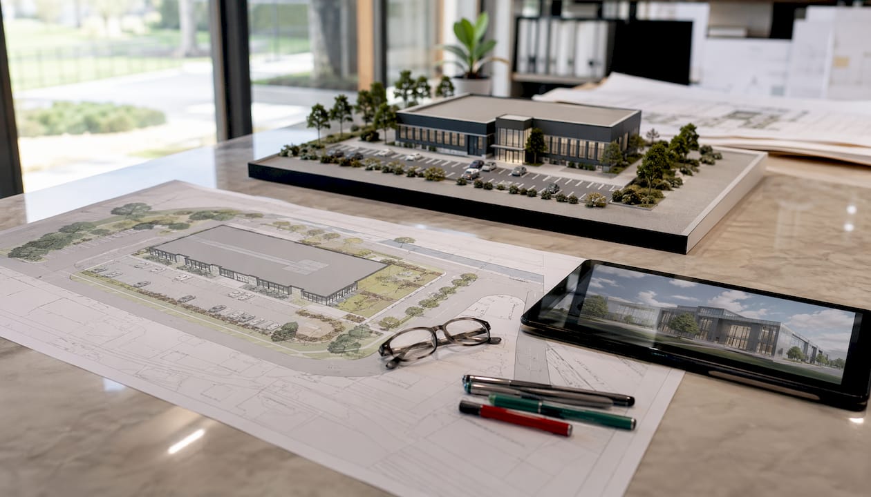
Visualtrick integrates surveying, photography, and 3D modelling in-house, which removes the handover delays that typically introduce errors when these disciplines are split across separate firms. For planning consultants managing tight programme dates, that single-point delivery matters. The CGI for planning applications service is built around exactly this workflow.
NPA Visuals and Joanna James CGI both operate in this space, offering specialist planning visualisation services. Holland Green similarly provides visualisations aimed at planning approval. Each brings a collaborative approach to verified view production, working alongside planning teams to meet authority expectations.
What makes producing accurate planning visuals technically difficult
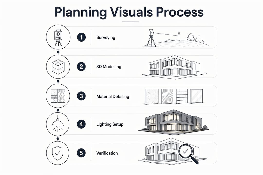
Producing a verified view is not a rendering job. It is a surveying and calibration exercise that happens to produce an image at the end.
The technical requirements are exacting:
- GPS viewpoint capture: survey teams record precise coordinates for every agreed viewpoint, along with reference points on surrounding structures, so the camera position can be reproduced exactly in the 3D model
- Controlled photography: images must be taken on a dry, still day with a level camera and a fixed focal-length lens; any deviation from these conditions invalidates the calibration
- Lighting accuracy: the CGI lighting is matched to the time of day the photographs were taken, so shadows fall correctly, as they would if the building were already standing
- Masking: elements of the rendered building that would be hidden behind existing structures are masked out, preventing the image from overstating the development’s visual presence
- AVR levels: the GLA’s cumulative scale runs from AVR Level 0 (block massing model) through to AVR Level 3 (fully rendered, photo-realistic image with materials, textures, and accurate lighting). The appropriate level depends on the project stage and the sensitivity of the site
Using inappropriate visualisation methods can actively harm planning outcomes. An image that flatters the scheme, or that uses a viewpoint not agreed with the authority, will be challenged. The professional standard here is GLVIA3, the Landscape Institute’s guidance on landscape and visual impact assessment, which advocates a proportionate and reasonable approach to visualisation scope.
Building design accuracy is increasingly connected to DSM modelling techniques, which feed precise geometric data into both energy assessments and visual representations, reinforcing the case for integrated digital workflows from the outset.
How visuals show the impact on heritage and the surrounding environment
Heritage impact is one of the most contested areas in UK planning, and it is where inaccurate visuals cause the most damage. A render that underplays a building’s height relative to a listed church, or that uses a viewpoint chosen to minimise the development’s apparent bulk, will be identified by the local authority’s conservation officer and can trigger refusal or a costly redesign.
Accurate visuals address this directly:
- Massing relative to heritage landmarks: a verified view from an agreed viewpoint shows precisely how the proposed building sits alongside a listed structure, in scale and in context
- Protected sightlines: in London, thirteen protected sightlines restrict building height and position to preserve views of landmarks including St Paul’s Cathedral; verified views are the standard tool for demonstrating compliance
- Environmental context: visuals communicate how a development affects the character of a conservation area, including its relationship to tree canopy, roofline, and street grain
- EIA evidence: verified images form part of the formal Landscape and Visual Impact Assessment (LVIA) submitted with major applications, providing a permanent record of the predicted visual effect
- Public consultation: realistic imagery allows residents to engage meaningfully with a proposal rather than reacting to abstract plans, which tends to produce more constructive feedback and fewer blanket objections
The planning visuals that carry most weight at committee and inquiry are those produced from viewpoints agreed in advance with the authority, using survey data that can be independently verified.
What the 2026 UK planning context means for your application
The direction of travel in UK planning is towards greater verifiability and less tolerance for ambiguity in submitted visuals. Local authorities handling major and sensitive applications increasingly specify AVRs as a requirement rather than a recommendation, and planning inspectors at public inquiry expect verified views as a matter of course.
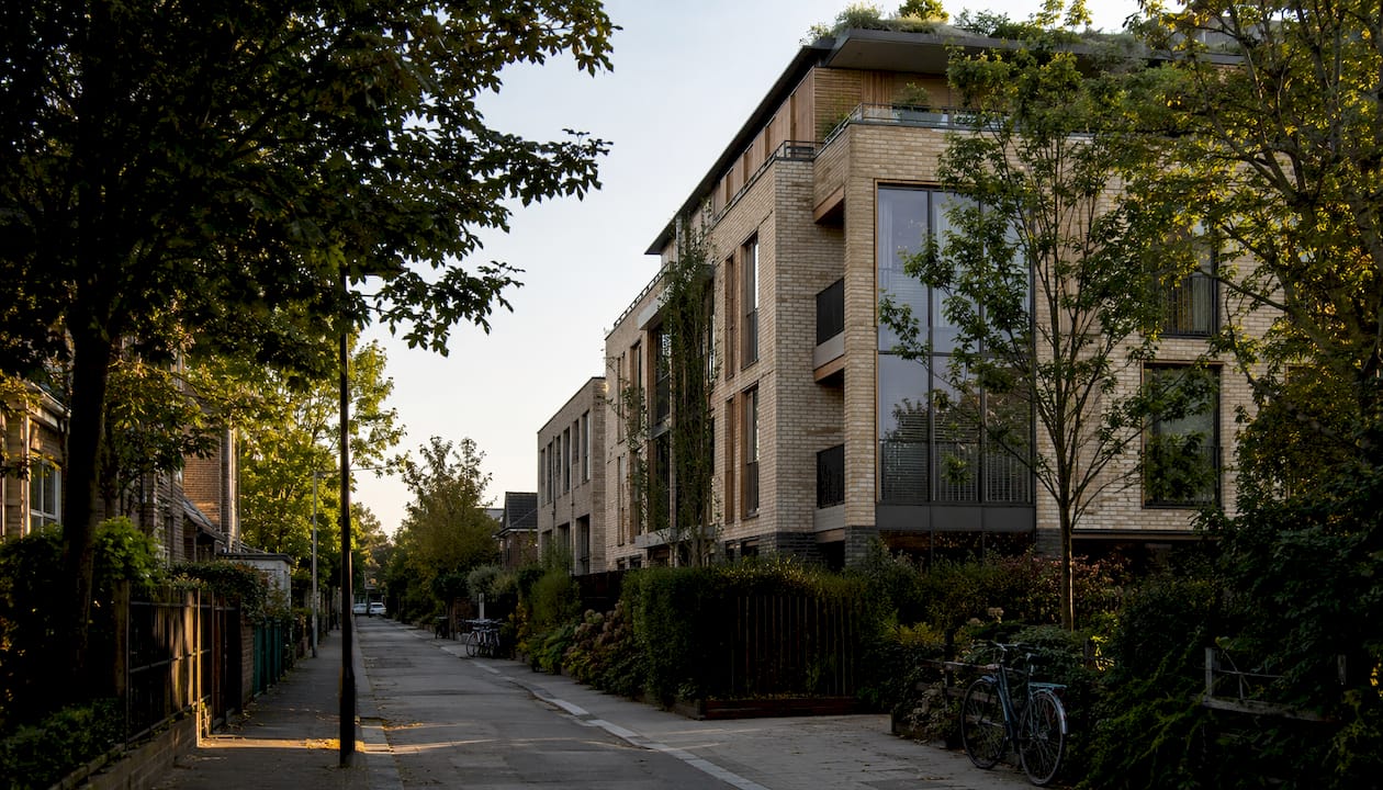
The legal stakes are clear. Submitting inaccurate or misleading visuals can trigger enforcement action, application refusal, or challenge at appeal. Planning authorities require verifiable images to ensure fair assessment, and an image that cannot be independently checked will be treated with scepticism. The architectural CGI planning submission guide sets out what developers need to prepare to meet these expectations.
Key 2026 expectations include:
- Mandatory AVRs for sensitive sites: conservation areas, listed building settings, World Heritage Sites, and major urban schemes all routinely require verified views as part of the application package
- GLA and Landscape Institute standards: the Greater London Authority’s AVR guidance and GLVIA3 remain the reference frameworks; authorities outside London increasingly reference the same standards
- Verifiable data trails: planning officers and inspectors expect to see the underlying survey data, not just the finished image, so the methodology can be checked
- Public inquiry readiness: if an application goes to appeal, verified views produced to the correct standard are far more defensible than standard CGI renders
- Technology adoption: 3D modelling workflows are now sufficiently mature that there is little excuse for submitting visuals that cannot meet the verified view standard on a major project
Visualtrick: planning-ready visuals produced to authority standards
Developers and planning consultants who need architectural visualisation services that will hold up under scrutiny have a straightforward choice: commission visuals built on verified data from the start, or risk producing images that the authority will question.

Visualtrick produces planning-grade CGI and verified view imagery in-house, combining surveying, photography, and 3D modelling under one roof. That means no data handover delays, no calibration errors introduced between disciplines, and a single point of accountability for accuracy and compliance. The team works directly with planning consultants and architects from the pre-application stage, agreeing viewpoints with local authorities and producing imagery at the AVR level the project requires. Whether the brief calls for a block massing model to test height at a sensitive viewpoint or a fully rendered AVR Level 3 image for a public inquiry, Visualtrick delivers visuals that meet the standard planning officers expect in 2026. Get in touch to discuss your project and request a quote.
Key takeaways
Accurate visuals are the single most effective tool for giving planning authorities the verifiable evidence they need to assess a proposed development fairly and efficiently.
| Point | Details |
|---|---|
| AVRs are standard practice | UK local authorities widely require Accurate Visual Representations for sensitive and major planning applications as of 2026. |
| Verified views withstand scrutiny | VVMs combine photographic baselines with calibrated CAD data, making them independently checkable by any party. |
| Heritage sites demand precision | Thirteen protected sightlines in London alone require verified views; inaccurate imagery risks refusal or enforcement action. |
| Collaboration drives accuracy | Early involvement of visualisers, surveyors, and planning consultants produces images that meet authority expectations and reduce objections. |
| Visualtrick delivers in-house | Visualtrick integrates surveying, photography, and 3D modelling to produce planning-ready visuals compliant with GLA and Landscape Institute standards. |
